
Vermont Mountain Roads to Travel Before The Snow Flies
October 11, 2019
Scenic drives are a favorite pastime in Vermont, and exploring Vermont mountain roads is perfect option if you’re looking for seeing gorgeous views from higher elevations.
4 Best Vermont Mountain Roads
Throughout the year, many roads offer not only gorgeous views but also access to forests, hiking trails, and mountain bike trail networks. It’s worth noting that some of Vermont’s most scenic and rugged routes close during the winter.
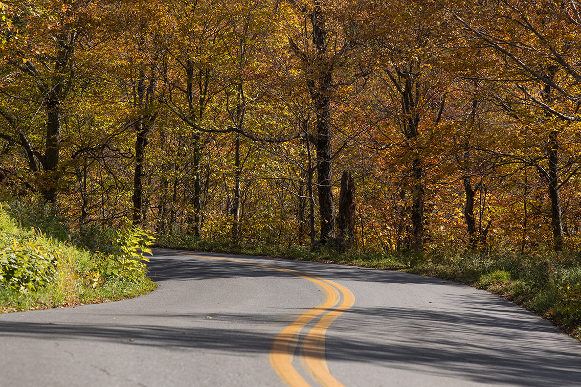
Kelley Stand Road between East Arlington and Stratton
Kelley Stand Road between the towns of East Arlington and Stratton takes you deep into the Green Mountain National Forest. This beautiful Vermont mountain road offers access points for hiking, camping, mountain biking, and exploring. Kelley Stand initially served numerous logging camps and early settlements during the 19th century. Kelley Stand Road is also where Daniel Webster spoke to 1,600 people at an 1840 Whig rally (A marker commemorates the spot along the road in Stratton). Enjoy access to Stratton Pond along The Long Trail, as well as trail loops around Grout Pond and Somerset Reservoir.
Getting there: From Route 7A, take East Arlington Road to Old Mill Road to Kansas Road. Turn right onto Kelley Stand Road. To access the road from the east, take Route 100 to West Wardsboro and head west on Stratton-Arlington Road, which eventually becomes Kelley Stand Road.
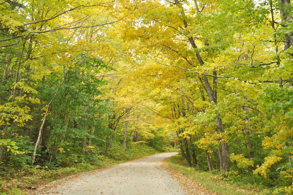
Route 108 through Smugglers’ Notch
Scenic Route 108, the most popular among Vermont mountain roads, is a paved route winds through Smugglers’ Notch connecting Stowe and Cambridge. This time of year, thousands of visitors descend upon the Notch to hike and sight-see in summer and during fall foliage season.
Before the creation of Route 108 in the early 1920s, a footpath and horse trail crossed The Notch to transport goods to Canada illegally and smuggle alcohol during Prohibition. These days, the Notch is perfect for hiking, leaf-peeping, and going for a scenic drive. Park at the top of Route 108 and access a trail across from the information booth to hike to Sterling Pond, which is the highest trout pond in the state.
Getting there: From Route 100 in Stowe, head north on Route 108 for about 7 miles before entering The Notch.
Hazen’s Notch between Montgomery Center and Lowell
Near the Canadian border, Route 58 extends between Montgomery Center and Lowell. Like other Vermont mountain roads, this one quickly changes from pavement to dirt. It extends from west to east, and climbs steeply through one of the most remote parts of Vermont. Not only is Hazen’s Notch scenic, but it’s also one of Vermont’s most historic roads.
As you drive through the Notch, look for an historic marker, which tells the history of the road that was built by General Moses Hazen in 1778-79. Benedict Arnold and Richard Montgomery attempted to capture Canada in 1776. Meanwhile, the American army needed reinforcements and supplies to continue the siege of Quebec. Jacob Bayley, head of the frontier militia and a resident of Newbury, wrote to General George Washington about the need to build a new road to shorten existing supply routes.
In 1778-79, General Hazen continued the construction of the Bayley-Hazen Military Road as far as Hazen’s Notch on Route 58. However, the military road was abandoned in April 1779 when news broke that the British patrols might use it as an invasion route.
Getting there: From Interstate 89, take Exit 19 to Route 104 to Route 36. Turn Right onto Fairfax Road toward Route 105. Follow Route 118 to Montgomery Center and turn left on Route 58/Hazen’s Notch Road.
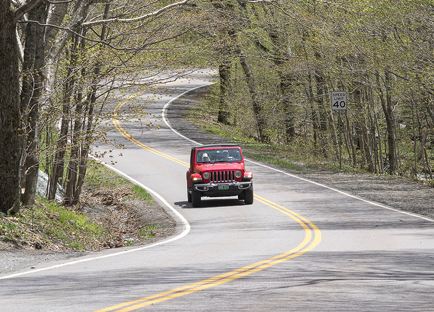
Lincoln Gap Road between Lincoln and Warren
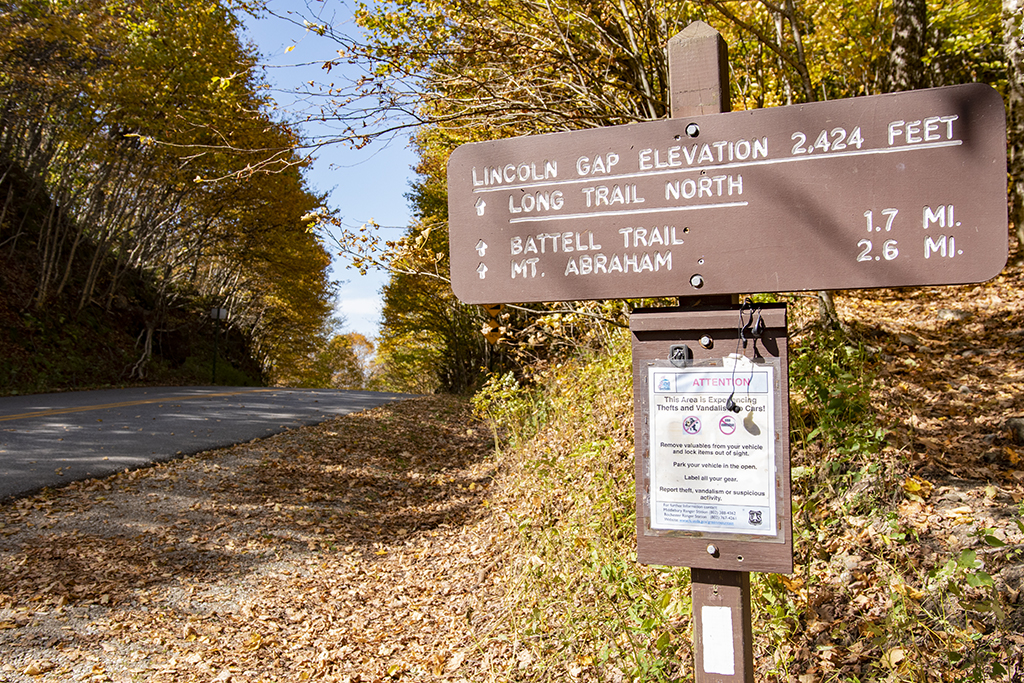
Between Lincoln and Warren is Lincoln Gap Road. The road climbs over the Green Mountains and crests south of Mount Abraham, Vermont’s fifth tallest peak. Start in the town of Lincoln where you’ll drive up a dirt road that eventually turns to pavement. Parking is available at the top of Lincoln Gap. You can access the Long Trail to the north to hike Mount Abraham or opt for an easier hike to the south toward Sunset Ledge. Either way, this Vermont scenic road is worth the drive.
Getting there: From the north, take Route 116 south through Hinesburg and Starksboro. Take a left on Lincoln Road and travel 8 miles to Lincoln Gap Road.
A quick note: Mountain toll roads, including the Stowe Auto Toll Road, Equinox Skyline Drive, the Burke Mountain Scenic Toll Road, and the Mount Ascutney Parkway are other good options but will be closing for the season within the next couple of weeks.
Have fun!
No Comments