Off the Beaten Path in Montpelier, Vermont
October 10, 2009
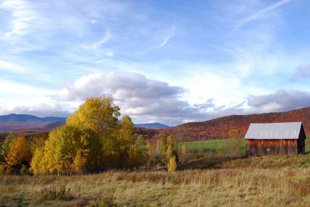
Lately I’ve been taking my camera just about everywhere with the hope of capturing some nice fall images. Yesterday afternoon the sky kept changing from sunny to dark, so I found myself chasing sunlight on the back roads of Montpelier.
While keeping an eye on some fast-moving gray clouds, I retraced a biking route I used to enjoy when I lived in Vermont’s capital. The area is a network of dirt roads located high on a hill north of the city and east of Wrightsville Reservoir.
The views in this area are some of the best in Vermont. In certain spots, you can see Lincoln Peak, Mount Ellen, Camel’s Hump, and the majestic Worcester Range, which includes Hunger Mountain and Mount Elmore. This is a perfect location for walking, biking and photography.
**If You Go: From Main Street in Montpelier, take a right in the rotary and a left on North Street.


solargroupies
Posted at 12:02h, 10 OctoberSweet blog and awesome pictures. Makes me so glad I live in Vermont!
Erica Houskeeper
Posted at 17:37h, 14 OctoberThanks! Getting out there with my camera makes me really appreciate everything we have here in Vermont.
Steve B
Posted at 02:59h, 18 OctoberHave you ever seen the movie, The Trouble with Harry? This photo reminds me of some of the scenic shots. I love the colors and the line of Maples.
Erica Houskeeper
Posted at 20:02h, 19 OctoberThanks Steve. I’ll have to put The Trouble with Harry on my list. I’m intrigued!